
Leaving Kamiah this morning around 10am, we aimed for Lewiston. The journey was similar to yesterday, in that the road tracked the river. Today, though it was the Clearwater river and the valley was much more open. Instead of thick pine forests, the hills were lightly scattered with trees and there was habitation along the road.
Once in Lewiston, in the old part of town, we came across the library and stopped to use their wifi. We have a lot of things going on in Portland and the UK at the moment, that need our attention. We had a quick look around the town and were almost immediately in Clarkton.
Perhaps at this point I should tell you a bit about Lewis and Clark, after whom these towns are named. For the last few days we have been following and crossing their path. Merriweather Lewis was asked by President Thomas Jefferson to undertake an expedition to the west of America. Lewis chose Clark to accompany him and the expedition, from May 1804 to September 1806. was known as the Corps of Discovery Expedition. It was the first expedition to cross the western portion of the US. Its aim was to explore unknown territory, to establish trade links with the Indians and affirm the sovereignty of the US in the region. One goal was to find a waterway from the US to the Pacific Ocean. This they did via the Columbia river.
We have stopped at several historic markers pointing out places where the expedition was held up by snow, or where Indian trackers helped them through. Today we found a point on the Snake River where they had been able to cut down trees and build canoes. This made travel very much easier than the struggle they had over mountainous territory.
Once we left Clarkton we were in Washington State, although we saw no marker to say so. We were still in a valley following a river, but this time it was the much larger Snake river, and the valley was dry and barren. We passed through 2 small townships, Pomeroy and Dayton, that had made an effort to keep their original buildings functioning and decorate the streets with multiple hanging baskets of petunias. Both attractive little places.
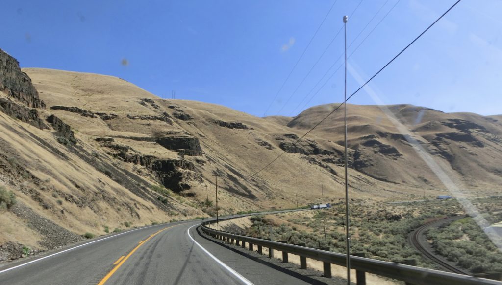
Leaving the Snake river the the wide open hillsides were golden/brown. Either from dry grass on the steeper, rougher slopes, or from stubble on the gentler, accessible slopes. I had never realised so much grain was grown in Washington. We didn’t know what it was, as it had already been harvested, the straw baled and collected and piled up in huge stacks. For miles and miles there was golden yellow stubble and huge grain silos in the small towns we passed through.
When we reached Walla Walla it changed. Grapes took over. We passed several large wineries advertising restaurants and wine tasting. When we reached our campsite I read this has become the 2nd most important wine growing area in the US, after California. We also left Washington State and entered Oregon somewhere, late this afternoon.

We had been on Hwy 12 all day but soon after Walla Walla we turned left on to the 730. We came to Lake Wallula surrounded by barren rocky cliffs.
I had noticed a State Park, Hat Rock State Park, on the map and hoped it would have camping. It wasn’t looking very hopeful being completely treeless and dry rocky country. However, a few miles further on we found the sign for camping in the park and turned off to find it. It’s not bad at all. Has all facilities, even a swimming pool. We were in luck.
Views: 34